Water table & tree height

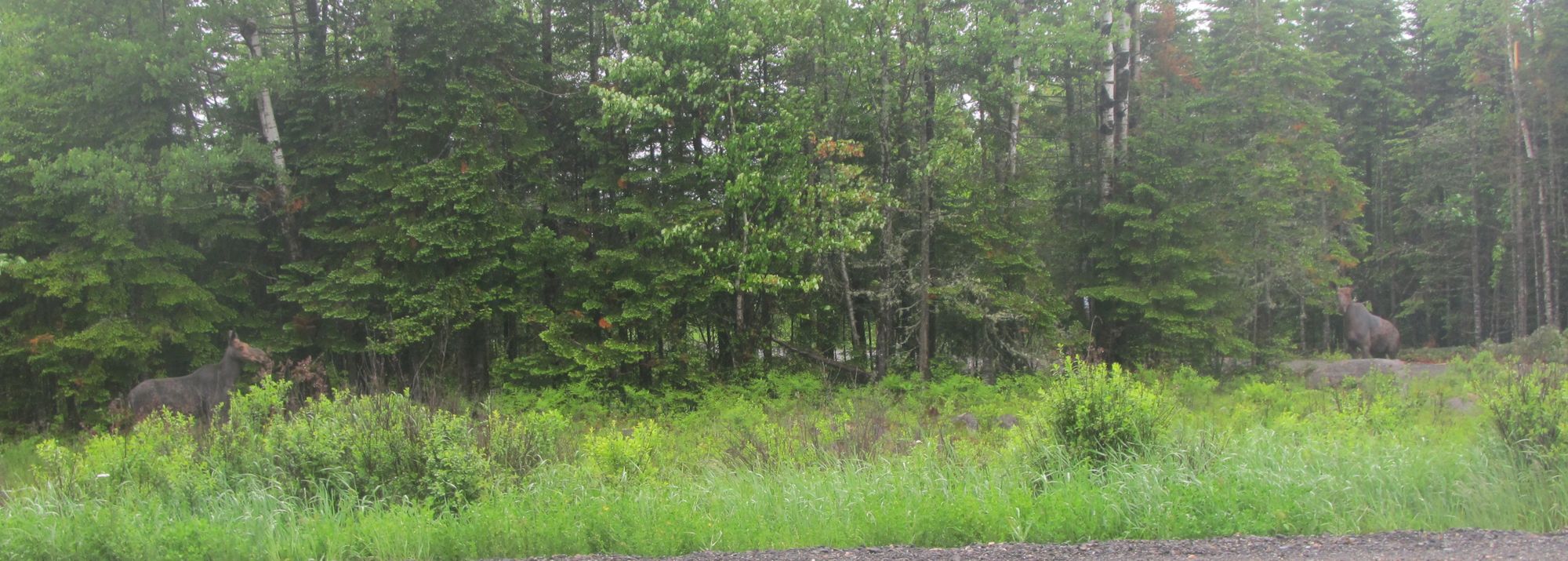
This project was my first exposure to field work, before I developed my passion for ecology. It was the summer after I graduated high school in 2009. I was employed by a Master's student, Collin Calhoun, in forestry at the University of Maine. To be honest, I don't remember what the objectives of the research were, but what I do remember is the grueling fieldwork in the Penobscot Experimental Forest near Bradley, Maine.
I was young and inexperienced which means I was ill prepared for conducting field research. At times I wore track pants, then tried snow pants, then gave up and decided to just be wet all day in jeans. The forest was on the edge of a massive swamp, which made it the buggiest place I have ever done field research. We first had to establish 2000 square-meter plots, which were subdivided into 5 x 5 m grids. The alignment of the plots was very particular so Colin would stand behind me with a compass and tell me to go left or right around every tree/log/bush. At one point he stepped on a hornets nest and we both sprinted out of these as quickly as possible. Once the plots were established we entered the Cool Hand Luke phase of the project. Under the tallest tree in each grid I dug a hole to the water table level, measured the depth, then filled the hole in. "What's your dirt doing in my ditch boy?" - Boss Paul (Luke Askew). One memory that always stuck with me from this research was the day we spent in the old growth stand. You have never seen white pines so big and an east coast forest so surreal. I don't know what happened to Colin or his research, but the experience laid the groundwork for my future adventures in field-based research.
